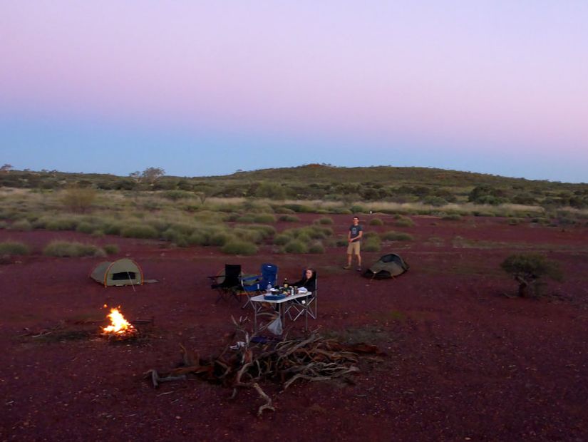
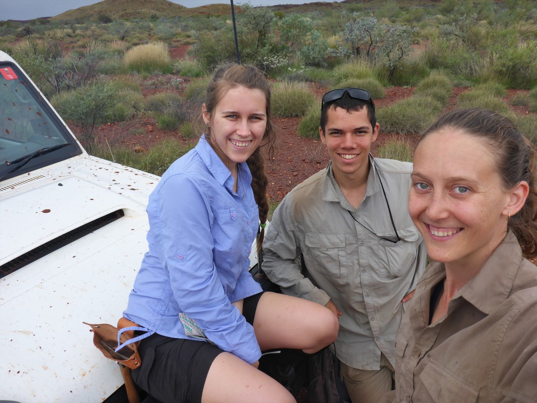
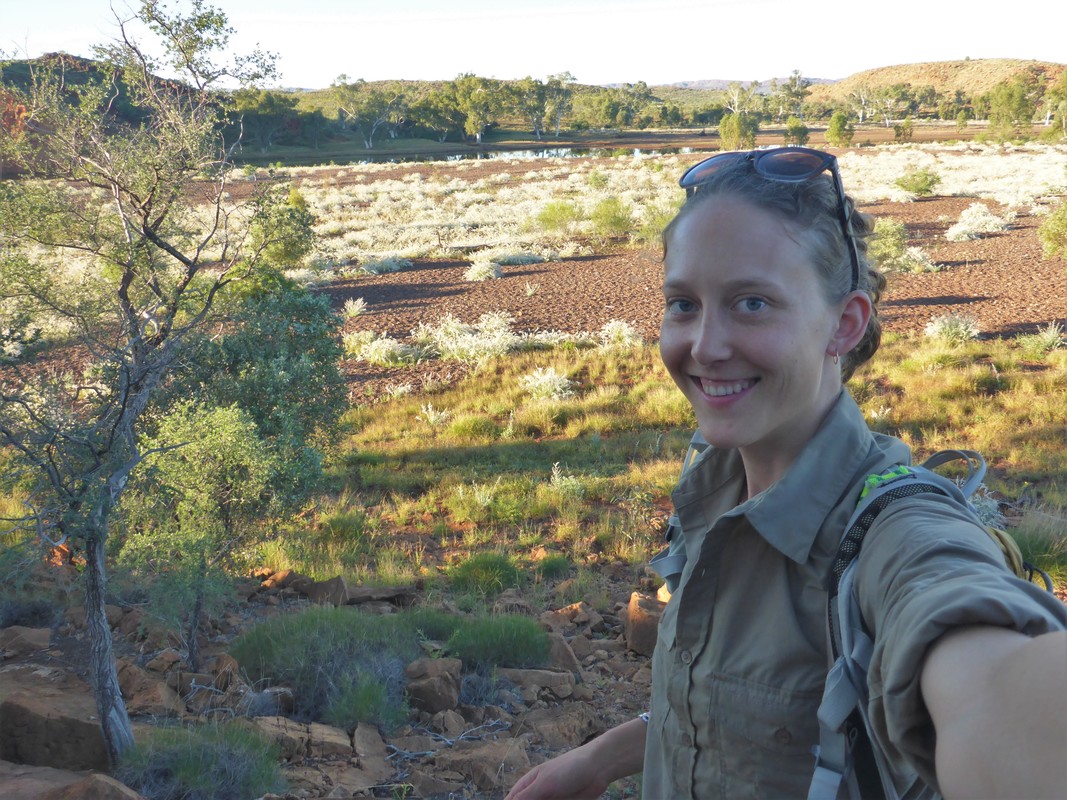
Turee Creek Group, Western Australia (2013, 2015, 2016)
- c. 2.3-2.4 Ga, Early Paleoproterozoic
- Geological mapping for Honours and PhD projects: stromatolite and microfossil facies
|
|
|
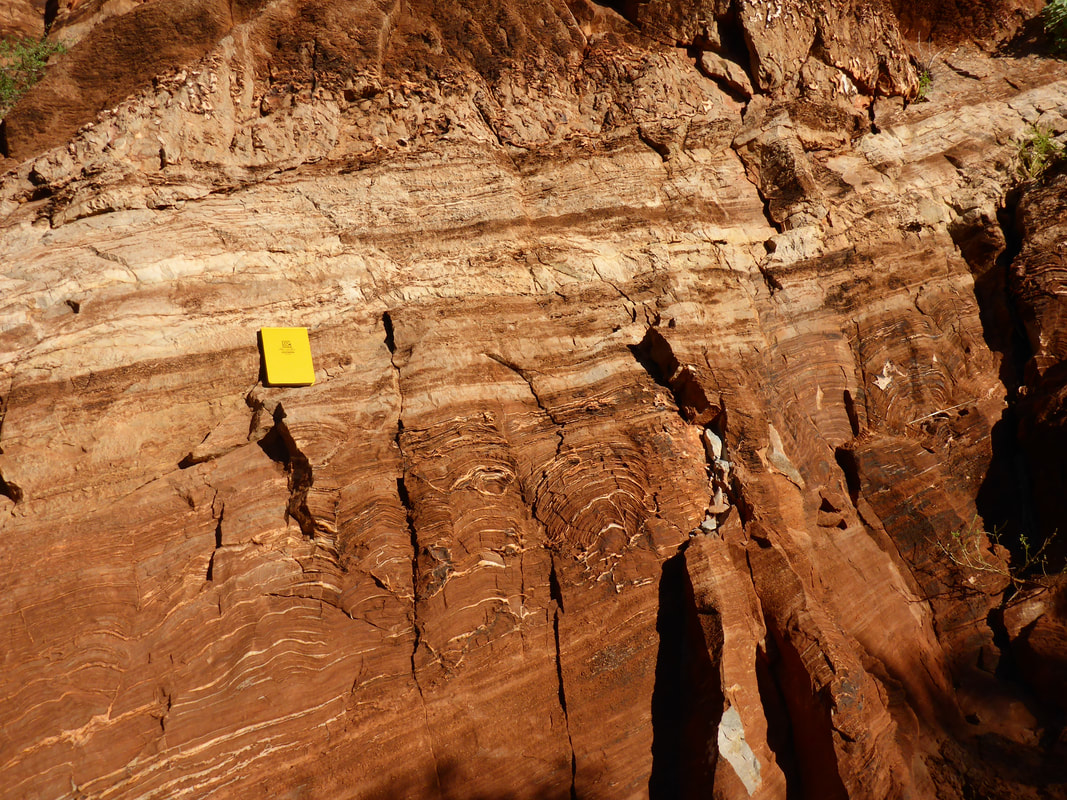
Stromatolites aligned with current direction! (plan view)
|

When it rains, nothing is safe from mud!
|
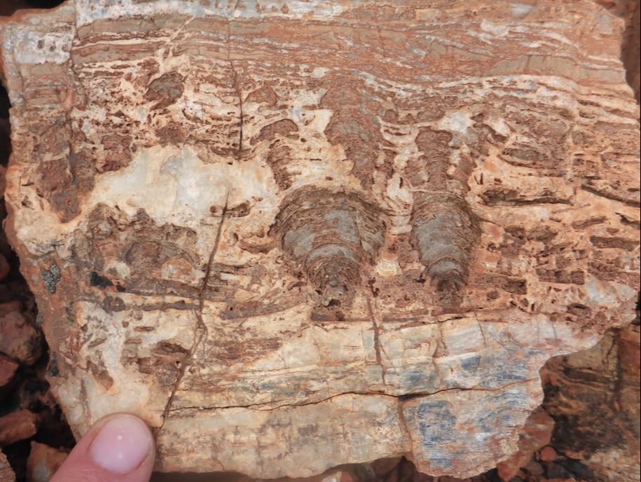
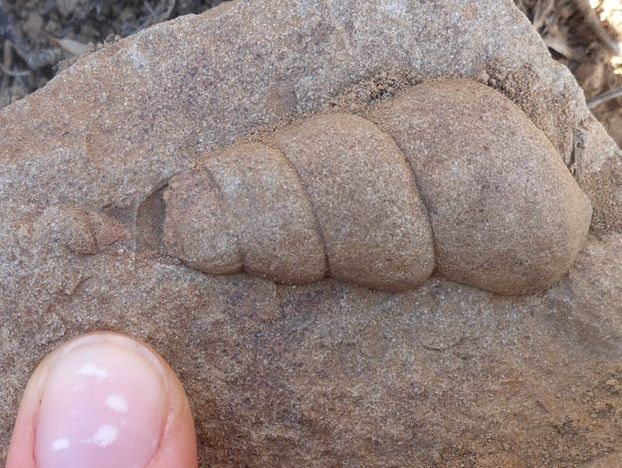
Little stroms (branching?)
|
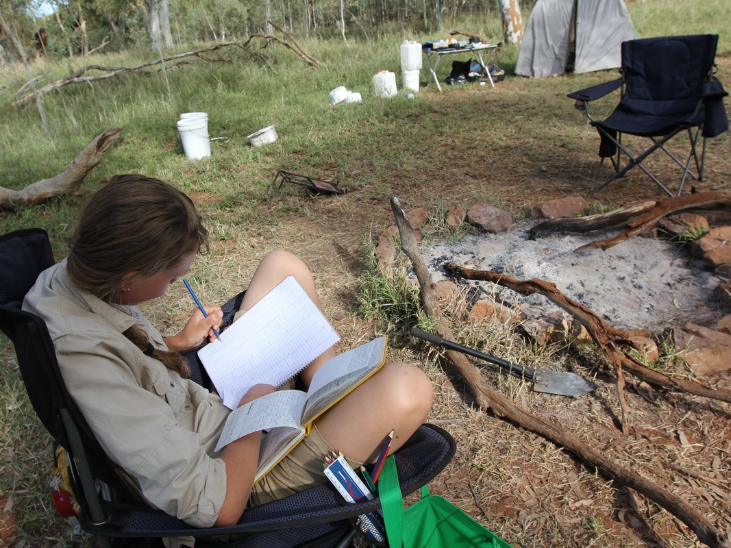
A great field office
|
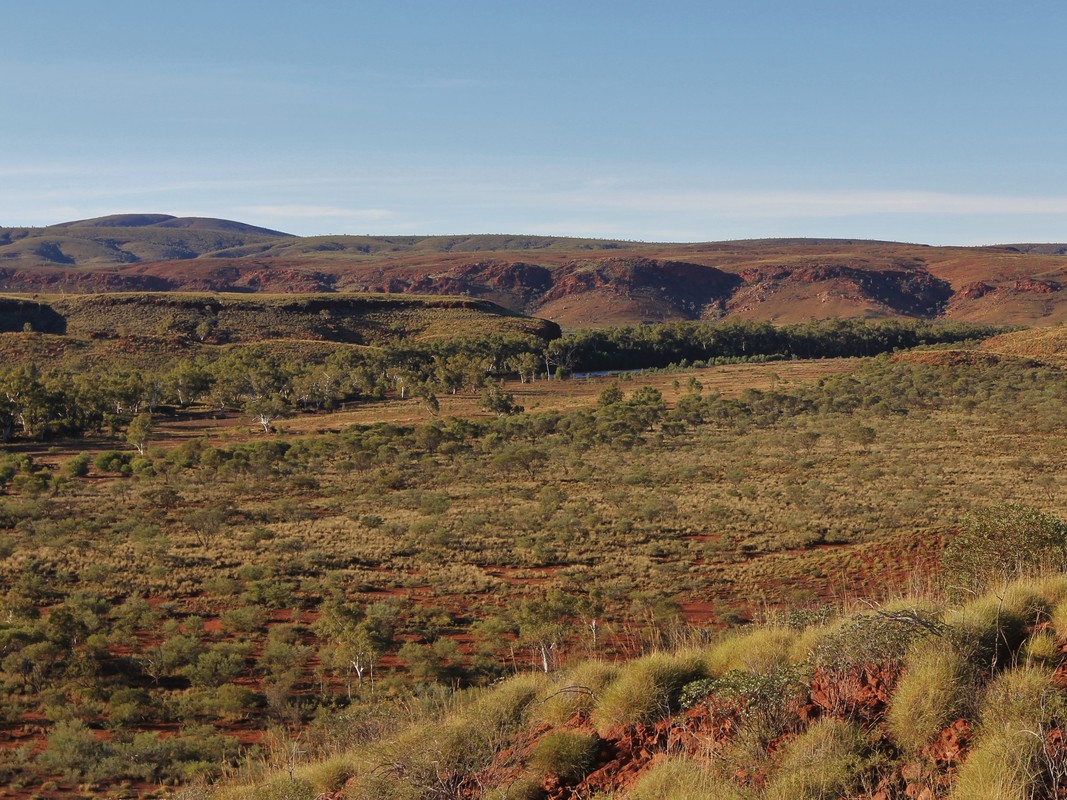
Duck Creek Dolomite, Western Australia (2013, 2015)
- c. 1.8 Ga, Late Paleoproterozoic
- Geological mapping for Honours and PhD projects: stromatolite and microfossil facies
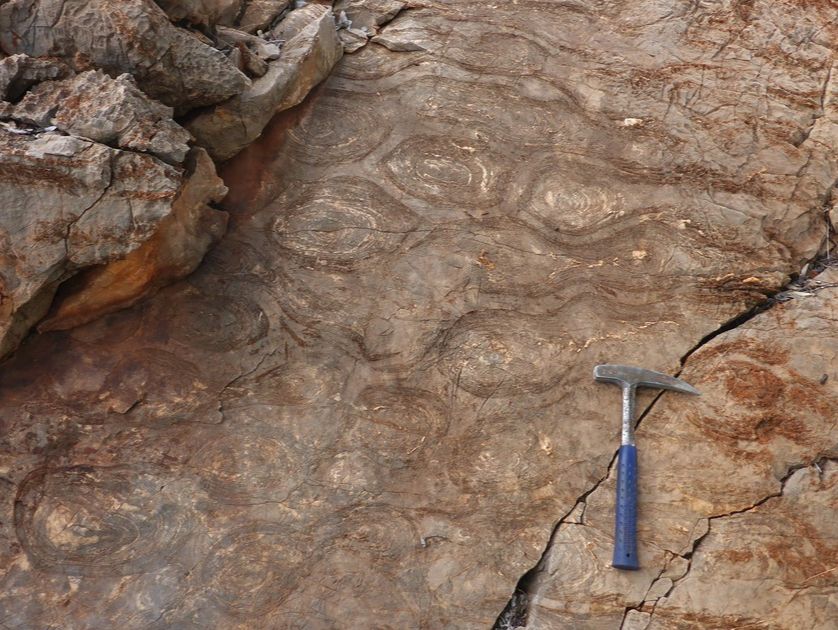
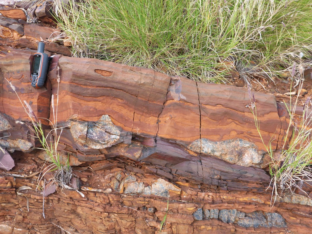
Laterally-linked wrinkly domal stromatolites
|
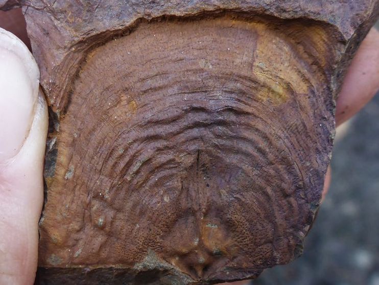
Microfossiliferous black chert nodules
|
An early start to avoid the heat!
|
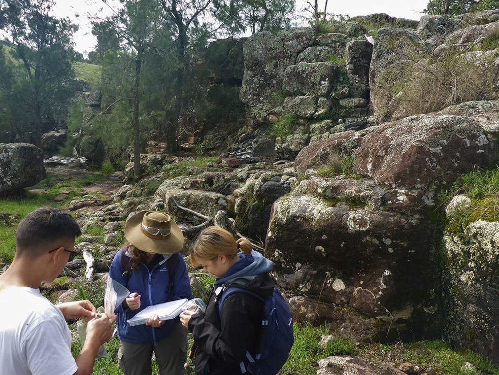
Rouchel Block, New England Orogen, New South Wales, Australia (2012, 2014–2018)
- c. 350 Ma, Early Carboniferous
- Geological mapping for undergraduate course: structures, fossils, depositional environments and geological history
|
|
|
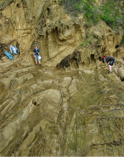
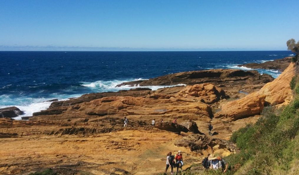
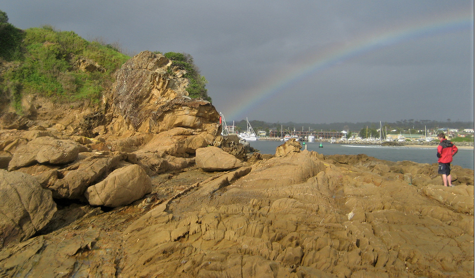
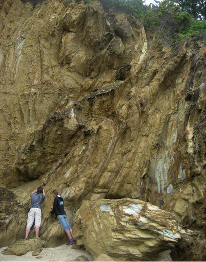
Bermagui, New South Wales, Australia (2011, 2014–2016)
- c. 440-480 Ma, Ordovician
- Geological mapping for undergraduate course: multi-deformational structures in turbidites; folding, cleavages and faulting
|
|
|